
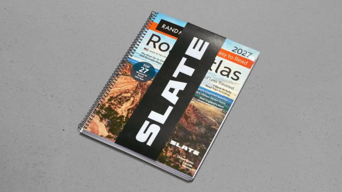
Slate Auto, the burgeoning electric vehicle manufacturer known for its stripped-down, highly affordable $26,400 electric pickup truck, is leaning further into its ethos of radical simplicity. While the automotive industry charges ever onward into an era defined by massive digital touchscreens, over-the-air updates, autonomous driver-assistance systems, and complex satellite-linked navigation suites, Slate is offering a distinctly retro alternative for drivers looking to escape the digital noise. For motorists who want to know where they are going without the help of a glowing LCD panel or algorithmic voice prompts, the company is now selling what it cheekily terms a "Screenless GPS"—which, in reality, is simply a branded Rand McNally road atlas.
The philosophy behind Slate Auto has always centered on paring things down to the absolute essentials. From the simple construction of its vehicle and its accessible purchase price to the uncomplicated nature of its optional accessories, the company caters to buyers who feel alienated by modern vehicles overflowing with distracting technology. However, even the most dedicated minimalists occasionally need to travel to unfamiliar destinations. When a vehicle lacks a built-in infotainment screen, satellite connectivity, microchips, and complex lines of code, answering the age-old question of how to get from point A to point B requires a different approach. Rather than developing an expensive proprietary digital display or attempting to integrate smartphone mirroring software into a barebones cabin, Slate decided to tackle the problem the old-fashioned way by partnering with a legendary cartography publisher and stamping its own branding onto a classic paper map.
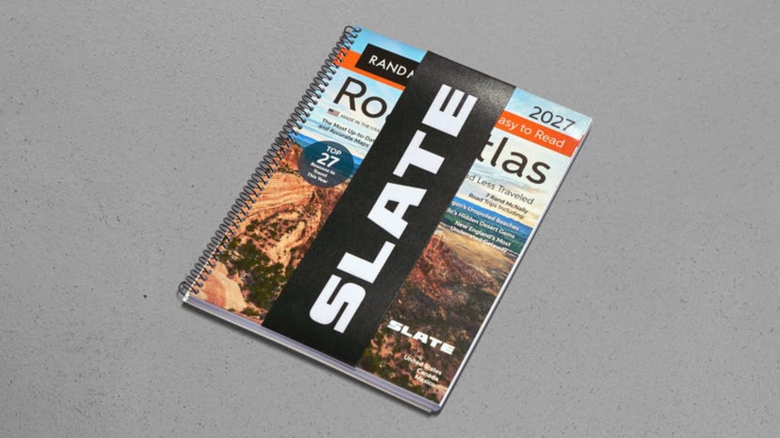
Priced at $30, the item quickly captured attention online, though eager buyers browsing the company’s official web store will currently find it marked as sold out. The product description on Slate’s website plays up the nostalgic charm of the item while highlighting its practical utility, noting that it represents the original navigation system with no signal required. Bound in a spiral format, featuring large print, and designed to fit easily within the cabin of a small truck, the map covers the United States, Canada, and Mexico as part of a limited-edition run. Specifically, the item is the 2027 Rand McNally EasyFinder Road Atlas, a modern iteration of the classic travel companion that even includes seven curated Rand McNally road trips for drivers looking to explore the open highway.
For younger generations who grew up entirely in the smartphone era, a road atlas might seem like a foreign artifact, but for millions of drivers, these comprehensive books of maps are deeply nostalgic. Decades ago, it was standard practice to keep a spiral-bound road atlas wedged securely between the driver’s seat and the center console or tucked neatly into the glove compartment. Many motorists remember thumbing through its colorful pages during long road trips out of sheer boredom—an activity often quietly encouraged by parents who wanted their children to develop fundamental navigation skills long before they ever sat behind the steering wheel themselves. It is a tangible, tactile skill that a certain demographic of car buyers still values, and it stands to reason that consumers who appreciate a mechanical, straightforward truck will likely appreciate an equally straightforward way to navigate it across the country.
Can Slate make maps cool?
Paper maps have quietly experienced a cultural renaissance in recent years, fueled largely by a growing societal fatigue surrounding constant screen time and digital saturation. Across various outdoor and adventure communities, analog navigation has made a notable comeback. Organizations like Backcountry Discovery Routes, for instance, have collaborated with specialized cartographers such as Butler Maps for years to produce detailed paper maps specifically tailored for motorcyclists and off-road enthusiasts looking to completely disconnect while tackling rugged backcountry trails. By introducing its Rand McNally tie-in, Slate appears eager to channel that same grassroots enthusiasm into the everyday highway driving experience.
At the same time, the marketing surrounding the product walks a fine line between genuine utility and tongue-in-cheek humor. Promotional materials posted to social media platforms have jokingly referred to features like "analog pinch to zoom," a humorous nod to smartphone gestures applied to a physical piece of paper. While some observers might view such marketing angles through a cynical lens, for Slate’s core target market, the appeal is unmistakable.
For the average modern commuter, a smartphone secured to
a dashboard suction mount will undoubtedly provide a more dynamic, real-time routing solution than a physical book tossed next to the handbrake, particularly when encountering unexpected traffic jams or highway construction. But for Slate’s specific audience—buyers who actively miss the mechanical simplicity of older automobiles and yearn for a return to unfemur-cluttered, utilitarian vehicle design—flipping through the bent, dog-eared pages of a worn road atlas offers a distinct emotional resonance. It is a deliberate choice that evokes memories of earlier decades, perhaps bringing back recollections of the rugged compact trucks that populated American roads years ago, when getting lost was simply part of the adventure and finding your way back required nothing more than folding out a giant sheet of paper on the hood of your truck.