
By Montana Free Press and Mountain Journal, in collaboration with Grist
Jerry Arnold stands in a patch of cleared land, his combine idling behind him. To the west, acres of freshly cut grain reveal rolling hills, and to the east, 3-foot stalks of wheat pulse in the wind. Arnold’s sweat-stained baseball cap is coated with fine golden dust after a day of harvesting at his farm near Opheim, Montana, a remote town with a population of just 72 near the Canadian border.
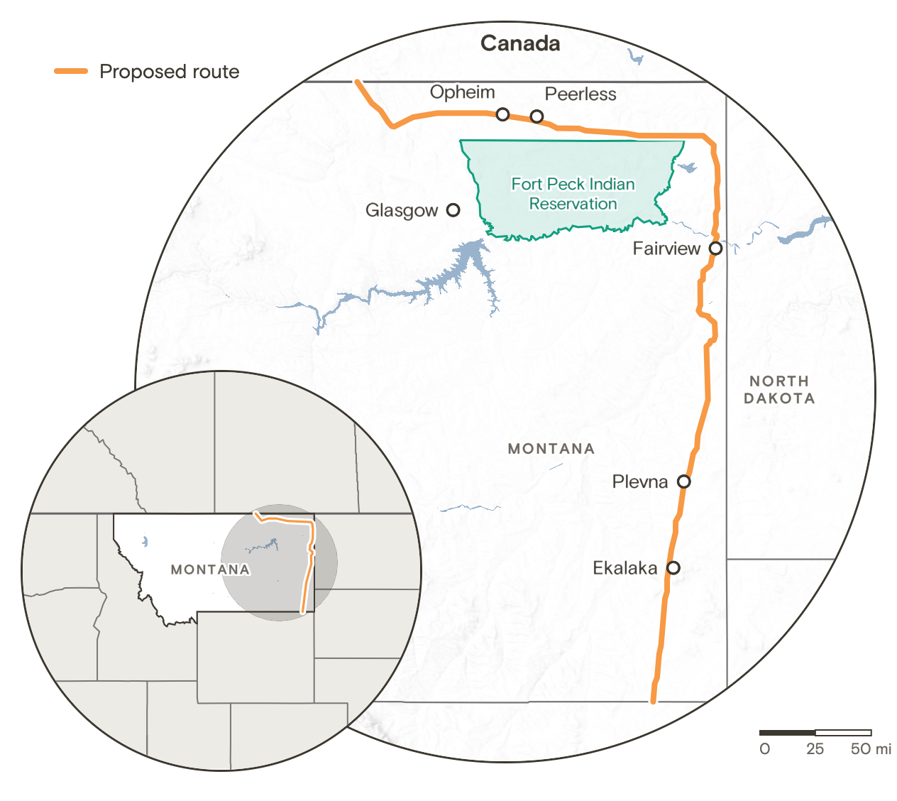
Last year’s warm, dry winter hit Arnold’s unirrigated farm hard. Record-low snowpack left soil moisture in short supply, severely stunting crop growth across the region. But financial relief could soon be on the horizon. Arnold is one of nearly 300 Montana landowners whose property lies directly in the path of a proposed pipeline that would traverse nine counties in eastern Montana and a vast expanse of eastern Wyoming.
“We’re coming off of two, three bad years,” Arnold said, surveying his fields, “and that’s going to be a good-size check.”
Wyoming-based Bridger Pipeline LLC plans to construct a 650-mile pipeline designed to transport tar sands oil—a dense, heavy mix of sand, clay, water, and a molasses-like form of petroleum that generates about 20 percent more greenhouse gas emissions compared to conventional crude oil. The proposed route would connect to an existing Canadian pipeline and run south through Montana before terminating at an oil refinery hub and trading center in Guernsey, Wyoming.
Company officials have stated their intention to break ground within a year. This spring, President Donald Trump granted the project a presidential permit authorizing Bridger to construct, connect, operate, and maintain pipeline facilities at the international boundary in Phillips County, Montana.
A Familiar Cycle of Hope and Hardship
Arnold has farmed in this unforgiving region all his life. He has seen droughts come and go, steadily expanding his operation to remain profitable in an agricultural industry that traditionally runs on razor-thin profit margins. In the 1980s, when a devastating trifecta of severe drought, intense heat, and a massive grasshopper infestation decimated his crops, he seriously doubted whether he could afford to stay in business.
Then, a major pipeline came to town.
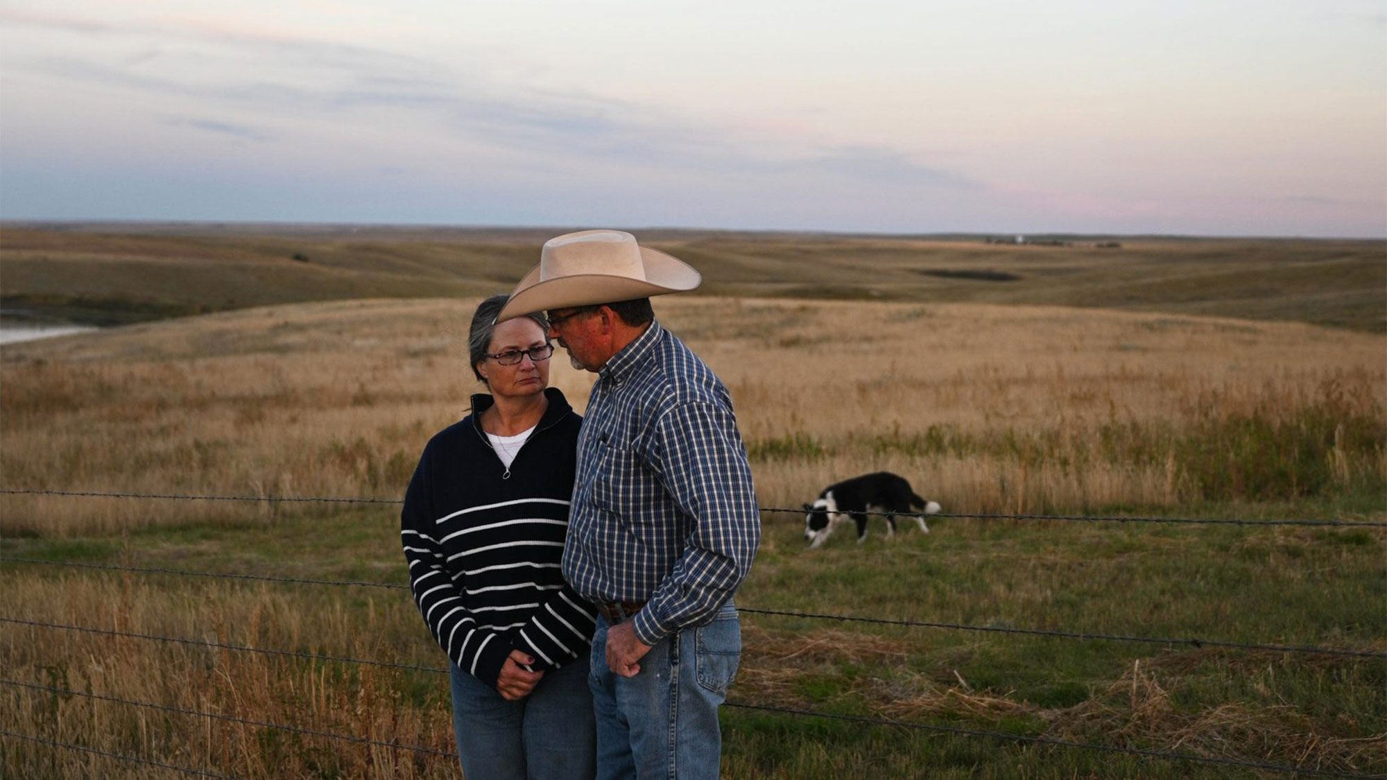
The Northern Border Pipeline was constructed to move natural gas from Canada down to the American Midwest, routing 105 miles through Montana. The financial compensation Arnold received for granting an easement across his land provided the exact capital he needed to keep farming.
“It was the greatest thing ever,” he recalled.
Decades later, when the ambitious Keystone XL pipeline was proposed to transport tar sands oil from Alberta down through the United States to major refining centers on the Gulf of Mexico, Arnold was thrilled to see another energy project approach his community. However, he was ultimately disappointed to discover that his specific property fell just outside the designated path. That project was never completed, and its fate was sealed when then-President Joe Biden officially terminated the permit in 2021.
Now, Arnold has another opportunity. Standing amid his golden grain fields, he admitted he was excited when Bridger representatives first approached him about a land easement more than a year ago.
“My first thought was, ‘I’m not gonna let you come through unless you do circles out there,’” Arnold said, explaining that he wanted to maximize the length of the pipeline crossing his property. The more pipe installed on his land, the larger his payout stands to be.
Economic Pressures Across Rural Eastern Montana
Bridger’s proposed pipeline route cuts directly through agricultural farm and rangeland where volatile cattle markets, skyrocketing diesel prices, and multiyear droughts have made an already challenging industry even more punishing in recent years. For the farmers and ranchers who own the land along the designated route, a substantial cash payment from Bridger could provide a much-needed layer of financial stability.
Pipeline companies routinely negotiate private deals with individual landowners, compensating them with a one-time lump sum for a permanent easement. Landowners are also typically paid for initial survey access or the legal fees required to consult independent attorneys regarding proposed easement contracts.
The exact financial compensation provided by pipeline companies depends heavily on the length of the pipe crossing the property and individual negotiations, which remain notoriously private. In 2012, some landowners reported receiving offers of up to $38,000 from the developers of the Keystone XL pipeline. Landowners in Nebraska who resisted early offers stated they were later offered tens of thousands of dollars in signing bonuses, with some reports detailing offers exceeding $150,000.
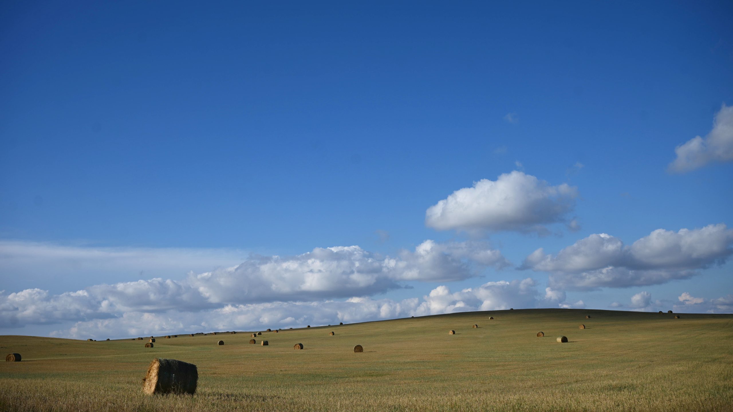
With President Donald Trump back in office, many landowners across eastern Montana are cautiously optimistic that this new pipeline will finally deliver the economic boost that Keystone once promised. Even so, the project faces multiple regulatory milestones before construction can officially begin.
First, the company must identify and finalize its routes. Bridger has proposed three distinct paths, with one designated as the preferred route. Next, the company must survey the selected corridor, carefully examining topographical challenges and environmental impacts. Bridger spokesperson Bill Salvin stated that the company has already paid each of the roughly 450 landowners along the preferred route for the legal access required to conduct these foundational surveys, though he declined to disclose the collective sum paid to landowners.
Following the surveys, the Bureau of Land Management (BLM) is required to publish its own environmental impact review for public comment. Pending the outcome of that rigorous federal process, Bridger must successfully secure state and federal compliance permits, finalize negotiations with private landowners, and distribute easement payments. Only after all these steps are completed can construction get underway, Salvin noted.
Divergent Realities Between Western and Eastern Montana
Landowners along the proposed pipeline routes possess varying levels of information regarding the company’s ultimate plans. Many residents still have fundamental questions about what the pipeline will carry, where the product will ultimately end up, and whether the project will offer any local relief from stubbornly high fuel costs.
However, the Montana Department of Environmental Quality has hosted regular informational meetings with Bridger executives and county commissioners representing the counties along the route. As a result, local county commissioners are largely championing the project.
Daniels County Commissioner Tammi Fladager noted that a massive infrastructure project like the Bridger pipeline would provide an essential economic lifeline. Roughly 50 miles of Bridger’s preferred route would run directly through Daniels County, a sparsely populated region of approximately 1,600 residents where roughly 11 percent of the population lives in poverty.
“We’re kind of desperate,” Fladager said, sitting in a rocking chair in her living room. “Anybody that comes with a big check, it’s ‘Where do I sign?’ You don’t want the lottery ticket to walk out the door.”
Bridger anticipates hiring between 2,000 and 2,500 temporary construction workers to build the pipeline. According to Salvin, those workers would be housed in temporary company-provided facilities, commonly referred to as man camps. Once construction is finished, Bridger expects to create between 50 and 100 permanent, full-time jobs in Montana dedicated to maintaining and operating the pipeline.
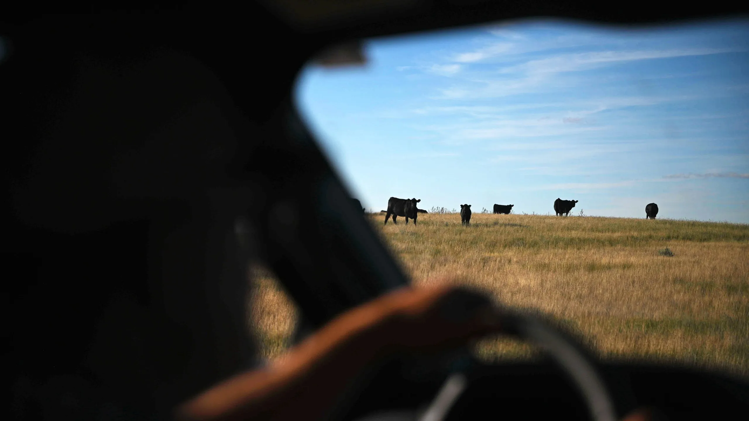
Economic impacts of that scale carry immense weight in rural eastern Montana, where the Continental Divide separates starkly different regional economies. The majority of Montana’s income-generating population centers, booming tourism destinations, and commercial growth are concentrated in the western half of the state. In the east, the oil and gas industry remains a dominant economic driver and one of the region’s primary sources of revenue.
Carter County commissioners reported that existing oil and pipeline infrastructure accounts for the vast majority of the county’s property tax receipts. The promise of consistent, long-term tax revenue from a new pipeline resonates deeply across the eastern plains.
“It almost feels like western Montana is eating off of a banquet table, and we’re down here picking up scraps,” Fladager said. “And this [pipeline] is like a pork chop falling on the floor. That’s what it is to us.”
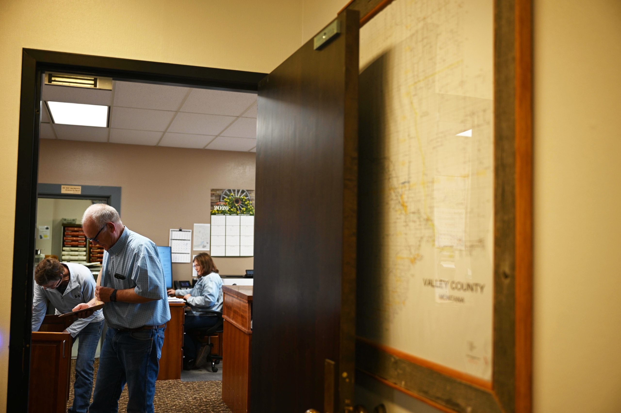
Daniels County is uniquely positioned to benefit from the project because it currently lacks any existing pipelines contributing to county tax accounts. In contrast, neighboring Valley County collected more tax revenue from centrally assessed properties—which encompass everything from commercial pipelines to electrical power lines—than from any other real estate category in 2025.
Valley County Commission Chair Paul Tweten recalled the immense hope the community felt when Keystone initially announced its plans to route through the area. Residents invested in new local businesses, purchased new vehicles, and overwhelmingly approved a $16.8 million school bond with the explicit expectation of leveraging future Keystone tax revenues.
Asked how he felt when President Biden signed the executive order terminating the Keystone project, Tweten paused before answering. “You don’t want to know,” he said.
Questions Over Long-Term Benefits and Transparency
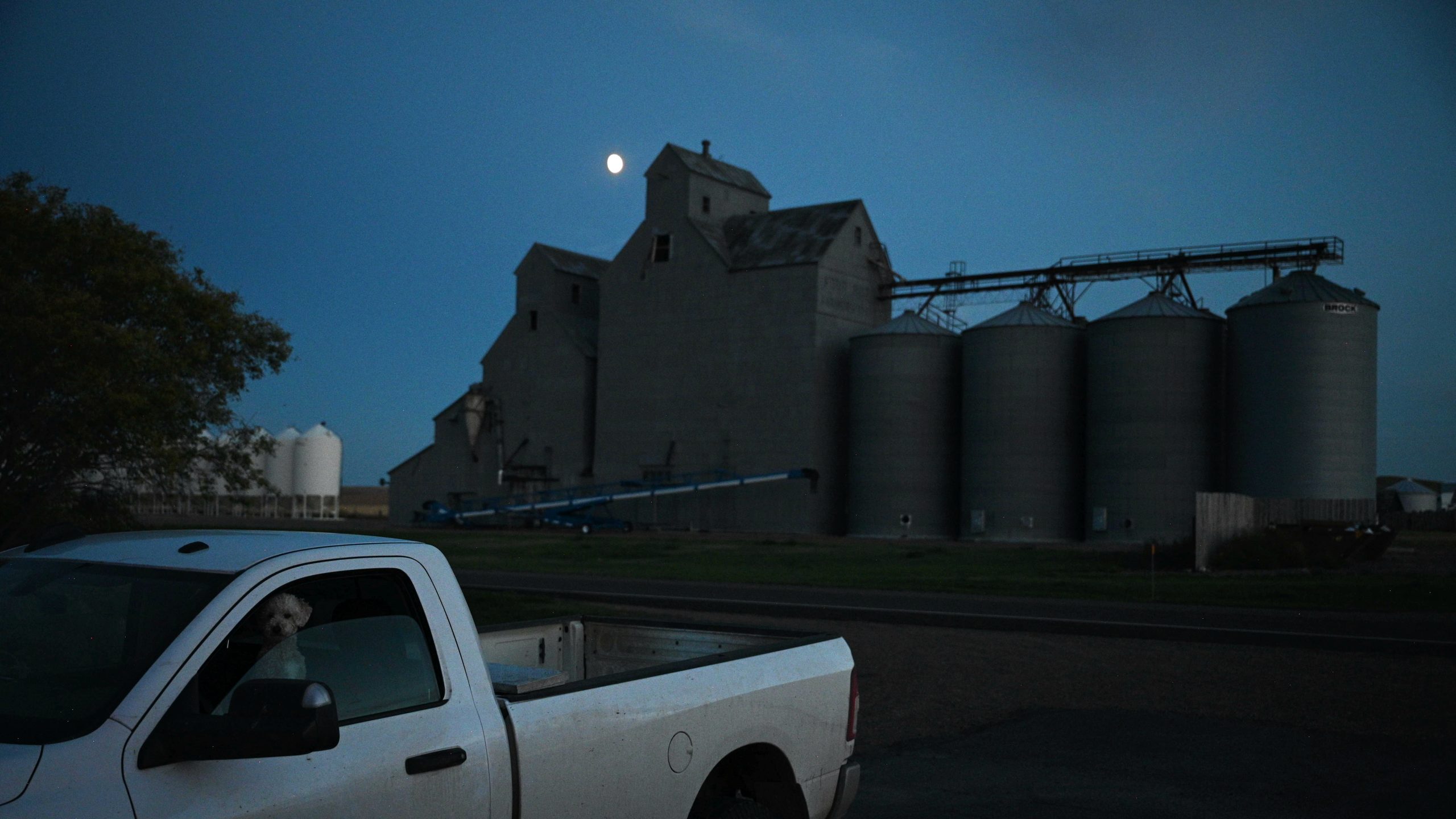
Bob Thielen operates a cattle ranch outside Plevna, located about 250 miles southeast of Valley County. His land sits squarely on the pipeline’s preferred route, and while he supports the project, he retains a healthy dose of skepticism.
“There’s a couple old Bridger pipelines that were put in way before I was born,” Thielen said, standing beside a county road cutting through his property. “I don’t even know what year. Probably in the ’50s, maybe.”
Because his property was also in the path of the canceled Keystone XL project, Thielen has witnessed firsthand how quickly major energy ventures can collapse.
“I’m going to call this the annoying stages of it,” he said, referring to the current phase of negotiations. “When all the negotiations are going on, and when you got all the surveyors and environmentalists, and everybody is wanting to come through your property and do all this and do all that, really before anything’s even set in stone.”
While Thielen noted that Bridger maintains local offices and that he generally trusts the company, he has pressing questions about the venture.
“Where’s the oil going? It’d be really nice to know,” Thielen said. “I don’t know why we have to keep sending oil out of our country when we’re in a struggle right now.”
He argued that greater transparency is needed from corporate and government leaders regarding the exact contents of the pipeline and whether the transport will help lower domestic gas prices.
“What is the benefit to the American people?” Thielen asked. “The counties might get a little revenue, us ranchers are going to get a little revenue—the American people are going to get absolutely zero from it if it’s just coming in and going out.”
Several landowners interviewed along the route echoed those concerns, noting they remain largely in the dark about the pipeline’s ultimate destination. While Wyoming marks the end of this specific 650-mile segment, the crude oil is slated to travel further. Bridger, in partnership with another energy firm named South Bow, plans to construct an additional pipeline network to move tar sands crude from Guernsey, Wyoming, south through Colorado and Kansas to a major refining hub in Cushing, Oklahoma. From that central point, the oil can be stored or transported onward to the Gulf of Mexico for international export.
Salvin acknowledged that it is impossible to predict whether the Bridger pipeline will directly impact consumer fuel costs, though he emphasized that increasing overall market supply is inherently positive.
“This is scheduled to start at 550,000 barrels a day; that gives additional security and stability to a market that can be unstable at times,” Salvin said. “And when you have a secure market, and you have a security of supply, that can help even out some of those shocks.”
Environmental Risks and Tribal Concerns
At peak operational capacity, the pipeline could transport more than one million barrels of crude oil daily, introducing substantial operational and environmental risks. A major spill would pose severe hazards to local ecosystems, agriculture, and public water supplies.
The preferred route skirts just north of the boundary of the Fort Peck Indian Reservation, coming within two miles of tribal lands at its closest point. Tribal leaders have repeatedly warned that even though the physical pipeline will not cross reservation boundaries, a potential spill could jeopardize the drinking water sources relied upon by thousands of Native and non-Native residents in the surrounding counties.
Krystal Two Bulls, executive director of the Indigenous-led environmental advocacy organization Honor the Earth, noted that plotting a hazardous pipeline path just outside a reservation boundary is a familiar and deliberate tactic. Similar routing decisions occurred with the Dakota Access pipeline near the Standing Rock Indian Reservation and Enbridge’s Line 5 pipeline near the Bad River Reservation in northern Wisconsin.
“It’s an extremely common practice,” Two Bulls said. “It’s like, ‘We’ll put the pipeline just close enough where you don’t have rights. And you can’t say that it’s on the reservation, so, legally, you don’t have the same protections or the same ability to fight it.’ But it’s close enough where it’s going to have an impact.”
Salvin stated that Bridger intentionally prioritized a route that avoids crossing reservation land due to explicit local opposition.
“Their tribe has made it clear they don’t want additional pipelines,” Salvin said. “We are of the mind that if people don’t want our pipelines, whether it’s Fort Peck Tribes or an individual landowner, we don’t want to put it there. We’d rather have someone amenable to the pipeline willing to have it cross their property.”
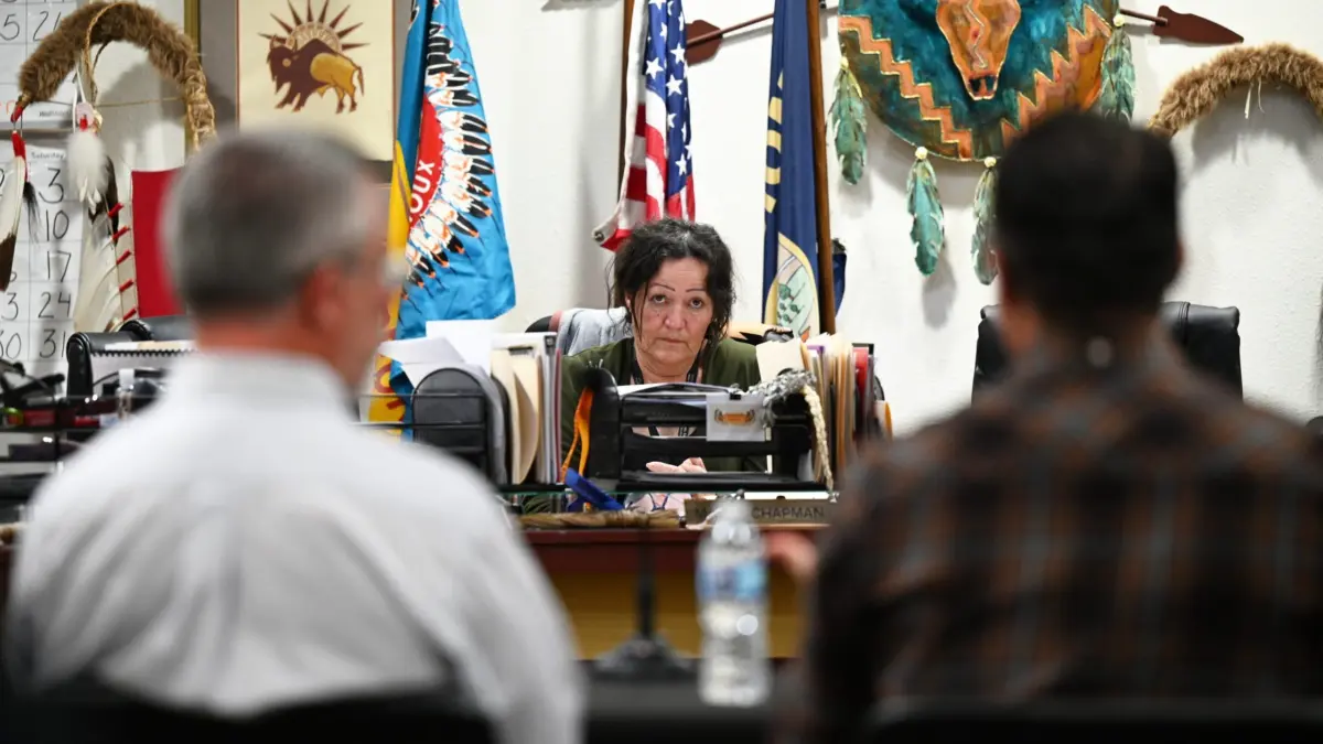
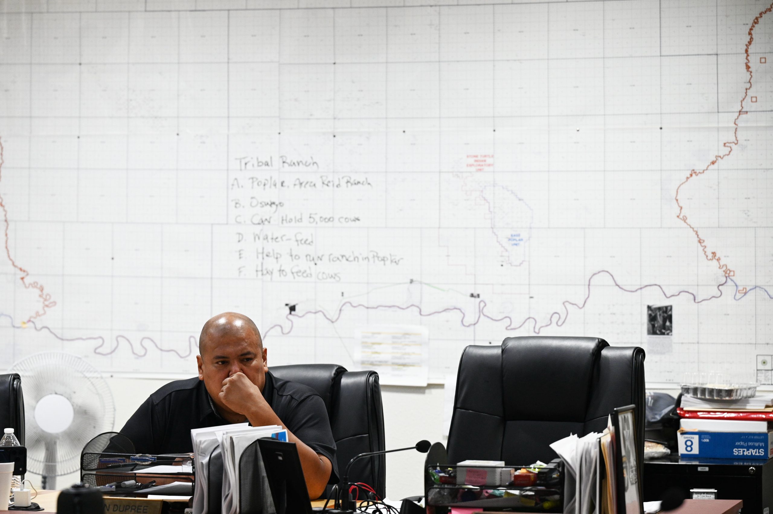
During a late September meeting inside the Fort Peck tribal chambers in Poplar, Montana, Tribal Executive Board member Jestin Dupree pressed representatives from the Bureau of Land Management regarding the federal agency’s oversight. Because the pipeline route crosses more than 50 miles of BLM-managed land, the federal agency holds a primary role in the formal review process.
“I want to know about worst-case scenarios,” Dupree told the agency officials.
The proposed pipeline corridor runs near several regional water systems that treat and distribute water from the Missouri River to communities across the reservation and neighboring counties. It is also designed to cross the Poplar River, a major tributary feeding the Missouri.
Dupree questioned what emergency measures would be enacted if a rupture occurred. He recalled the 2015 incident in which a different Bridger-owned pipeline spilled at least 30,000 gallons of Bakken crude oil into the Yellowstone River, forcing roughly 6,000 residents in Glendive downstream to avoid consuming tap water. Bridger ultimately settled a civil lawsuit with the Montana Attorney General’s Office over that spill for $2 million in 2021. According to federal data compiled by the U.S. Pipeline and Hazardous Materials Safety Administration, Bridger-operated pipelines have recorded 12 spills since 2012. Furthermore, in 2023, Bridger and Belle Fourche pipeline companies agreed to pay $12.5 million in civil penalties under the Clean Water Act and federal pipeline safety regulations following multiple oil spills in Montana and North Dakota.
Salvin maintained that the company has significantly upgraded its safety and monitoring infrastructure since the 2015 spill.
“We build the pipelines today better than they were built in the past,” he said. “They are designed for safety and 24/7 monitoring with multiple leak detection systems, including one that we invented using AI.”
During the same tribal consultation meeting, council members asked whether the BLM’s environmental analysis would factor in the lifetime greenhouse gas emissions generated by processing and burning tar sands oil. Burning fossil fuels releases substantial planet-warming emissions, and extracting heavy bitumen requires intensive inputs of fresh water and natural gas for heating and mining.
Phillip Blundell, the pipeline project lead for the BLM, cited a recent Supreme Court ruling determining that federal agencies are not legally required to analyze downstream emissions of that scale. He informed tribal leaders that the BLM’s environmental review “will only look at emissions from construction.”
Council members also pressed federal officials for concrete emergency response plans in the event of a spill, protocols for documenting natural resource damage, and security measures to prevent potential violence or social disruption associated with temporary man camps.
BLM representatives were unable to provide detailed answers, repeatedly noting that delays by Bridger in submitting necessary technical and logistical data have hindered the agency’s progress on the environmental impact statement.
Dupree said he walked away from the council discussions feeling deeply frustrated and unsatisfied.
“We met with the BLM twice and Bridger Pipeline twice in the last year and a half, but you know, the same questions come about with no answers,” Dupree said. “It’s just a lot of lip service, it seems.”
When asked about upcoming coordination with the tribal council, Salvin stated that the company is actively preparing technical assessments to address the specific questions raised by tribal leaders and hopes to hold a follow-up meeting in December.
As of mid-October, Dupree confirmed he remained unaware of any officially scheduled meetings.