
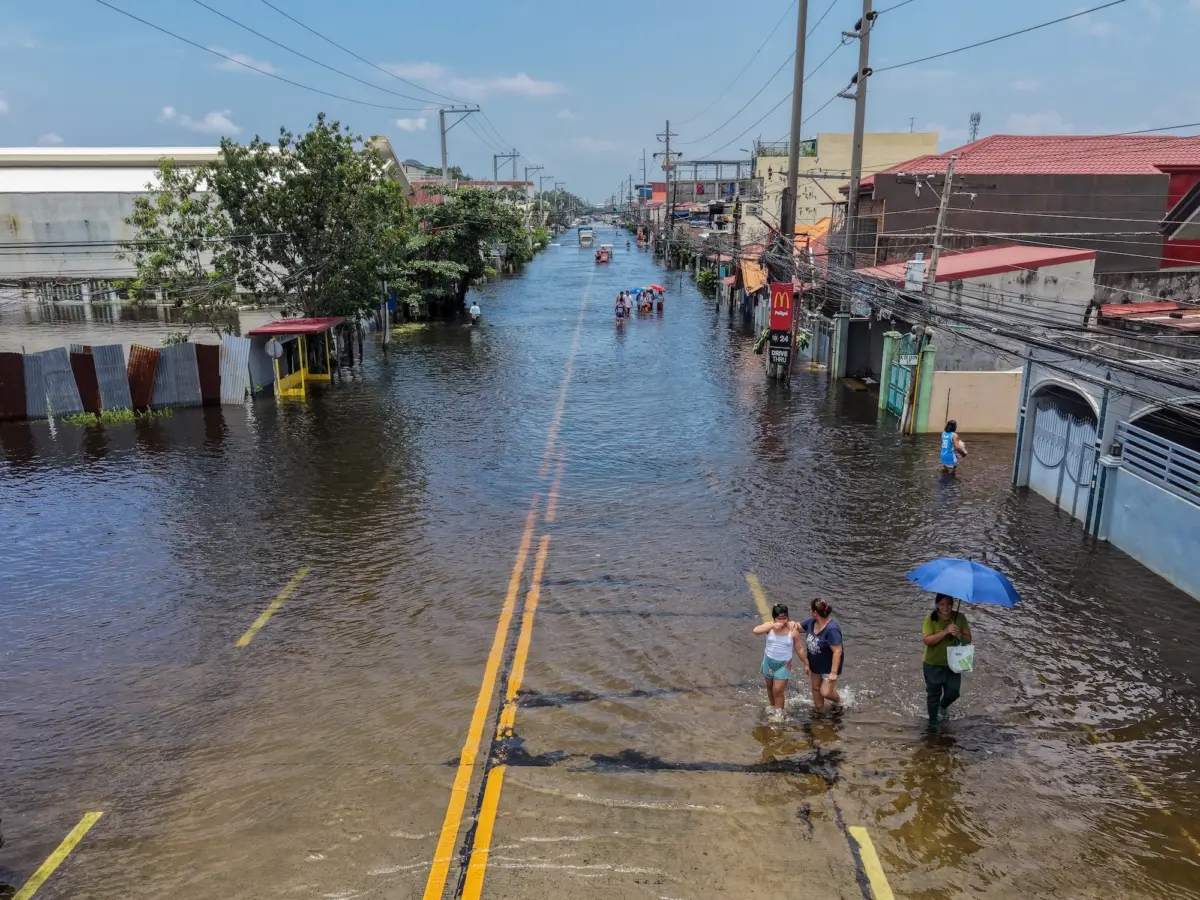
By now, the headlines have become a daily fixture across newsrooms worldwide: It is "jaw-dropping." It is poised to severely exacerbate global warming. California has officially declared a statewide emergency. This year’s El Niño—a recurring and complex shift in Pacific Ocean trade winds that thoroughly scrambles global weather patterns—has emerged as one of the most intensely discussed climatic anomalies in modern history. Experts warn it carries the potential for disastrous consequences across multiple continents. Among the most alarming projections, a recent study estimates that the compounding heat could contribute to as many as 451,000 heat-related deaths worldwide by the month of February.
The current climate phenomenon has also accumulated a striking array of descriptive monikers. When Jeffrey Shaman, a climatologist at the Columbia Climate School, first encountered the phrase "super El Niño" earlier this year, his initial reaction was pragmatic: "I literally googled it." While the term is not officially recognized or utilized in the formal lexicon of the National Oceanic and Atmospheric Administration (NOAA) or the World Meteorological Organization (WMO), Shaman believes the label serves a critical purpose. He argues it provides an effective way to communicate the profound significance and potential danger of a weather pattern that threatens to break established historical boundaries.
"It’s colloquial, and there’s nothing wrong with that at all," Shaman noted, emphasizing the necessity of accessible communication when discussing systemic ecological threats.
By all available accounts, the unfolding El Niño will also offer the international community a sobering preview of a future defined by unabated atmospheric warming driven by the continuous burning of fossil fuels. At the same time, climate scientists view it as a critical inflection point—an urgent opportunity to alter global policy and economic trajectories before the most catastrophic impacts of climate change become irreversible.
Back up — what is El Niño?
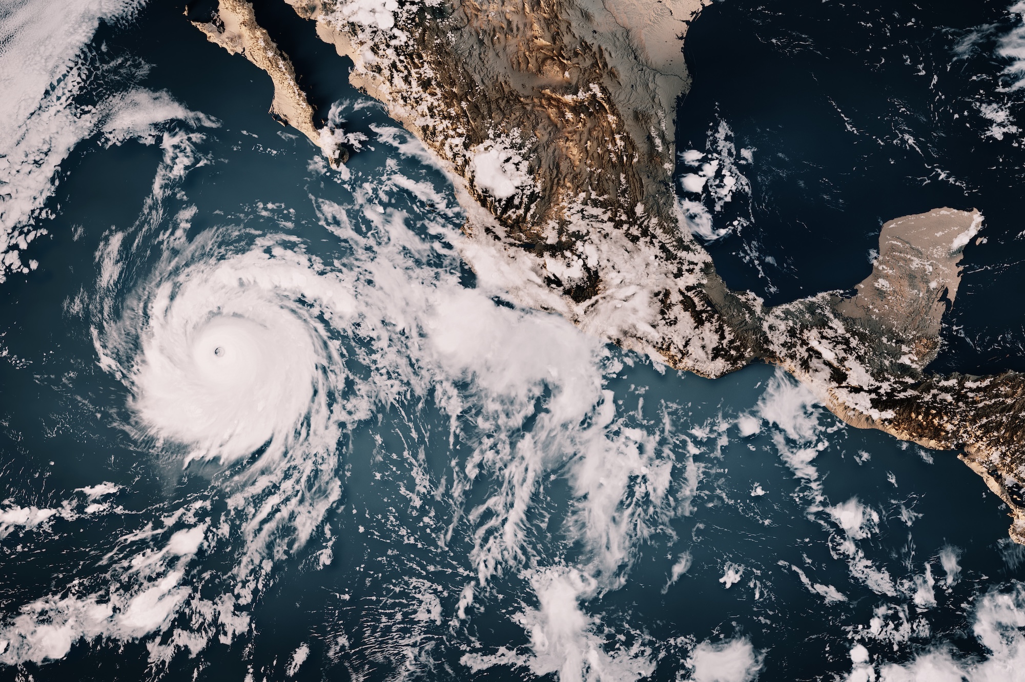
To understand the magnitude of the current crisis, climatologists point to the fundamental mechanics of the phenomenon. El Niño is a naturally occurring weather pattern that originates when sea surface temperatures in the equatorial Pacific Ocean rise significantly above average. While it operates on an irregular cycle, typically recurring every two to seven years, its baseline mechanics are well-documented. Under normal conditions, steady trade winds blow from east to west across the Pacific, pushing warm surface water along the equator toward East Asia and Oceania.
However, during an El Niño year, these trade winds weaken considerably and can occasionally reverse direction. As the winds slacken, the massive pool of warm water that is typically dragged westward sloshes back toward the eastern hemisphere, accumulating along the western coast of the Americas.
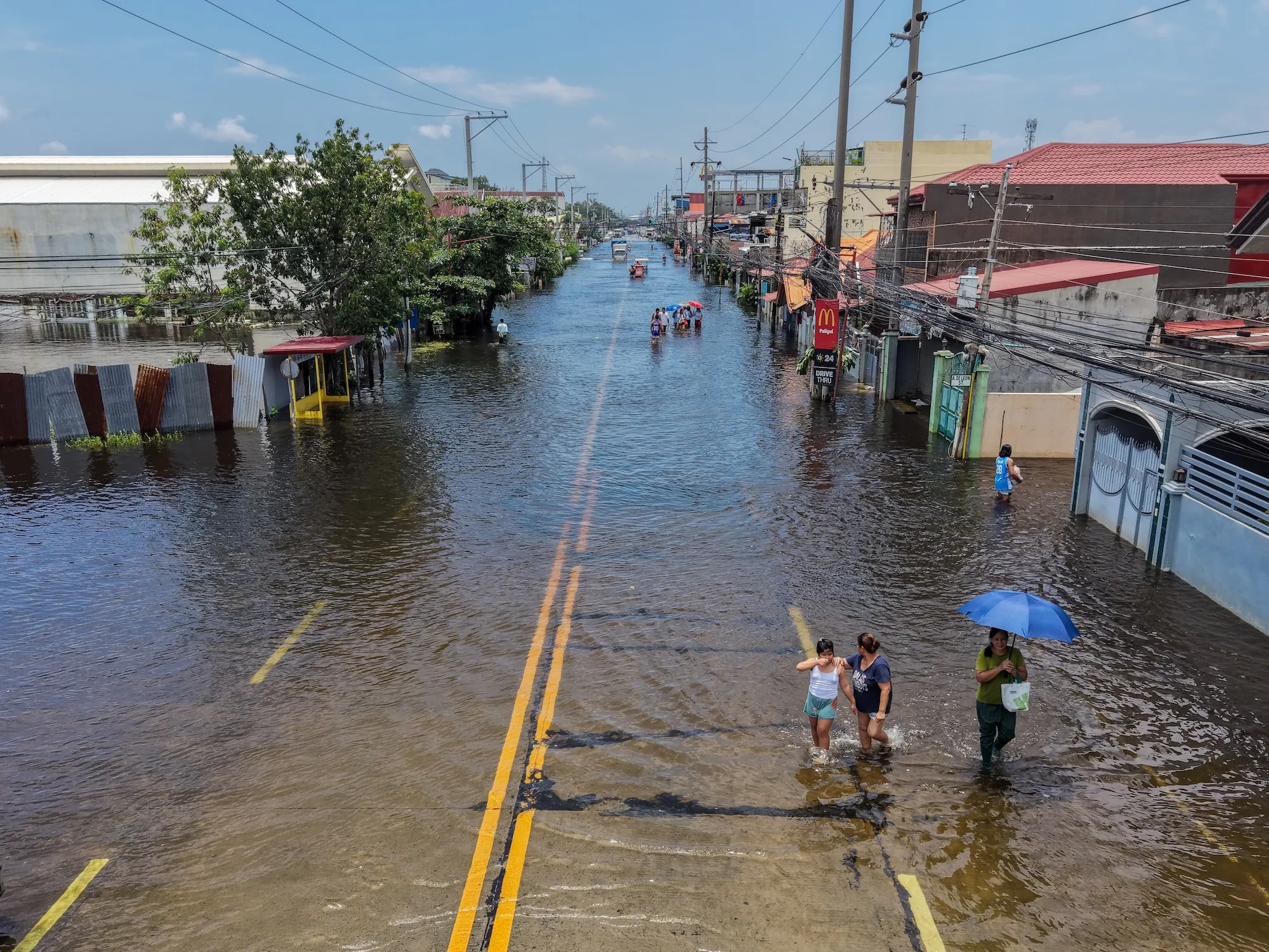
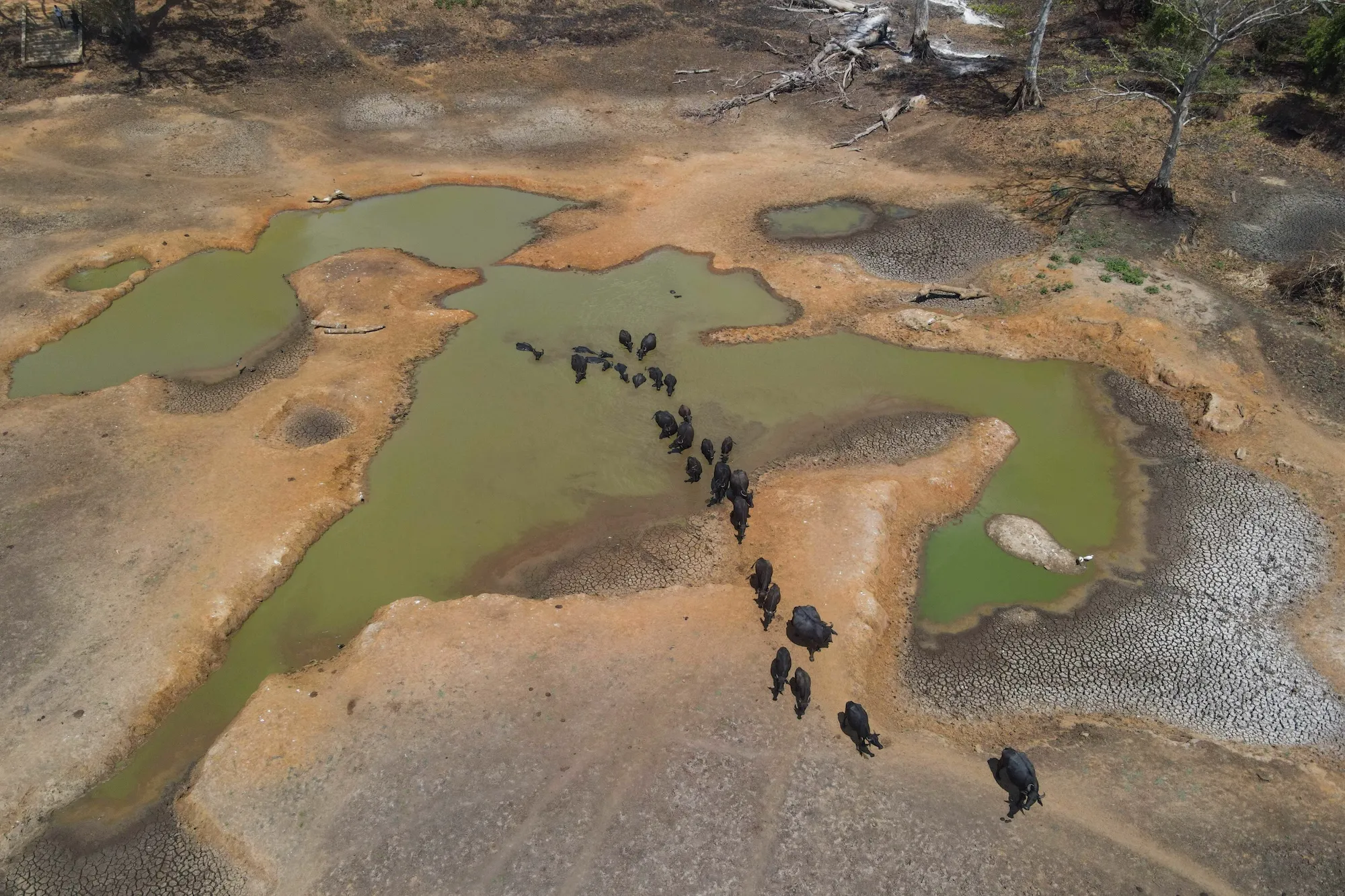
This monumental redistribution of oceanic heat has ramifications that extend far beyond the Pacific basin. It acts as a primary driver of extreme weather events across the globe, threatening vital agricultural crop harvests in key food-producing regions, intensifying severe droughts in some areas, and triggering unprecedented, catastrophic rainfall and flooding in others.
The intersection between El Niño and long-term anthropogenic climate change is inherently complex. Extensive scientific research demonstrates that global warming has increased the frequency and intensity of El Niño events over recent decades. Conversely, individual El Niño phases are consistently associated with sharp spikes in global mean surface temperature—the average temperature of the Earth’s surface, which scientists frequently utilize as a baseline metric for tracking climate change.
While it remains methodologically challenging to isolate precisely how much additional warming is directly attributable to the temporary El Niño cycle versus long-term climate change, researchers emphasize that the combination of the two forces will be devastating. Climatologists warn that the current year is on track to rank among the hottest on record, with 2027 potentially surpassing those marks. According to high-end scientific estimates, the cumulative effect could serve as an accelerated preview of the typical global temperature levels the planet might not otherwise expect to see until the year 2040.
Scientists readily admit that they cannot predict with absolute certainty how this powerful convergence will unfold in real-time. "It’s going to be a very, very strong event occurring against a backdrop of very rapid global warming," said Christopher Callahan, a climate scientist at Indiana University. "I think we’re going to, unfortunately, learn a lot this year."
What makes this El Niño ‘super’?
The scientific community utilizes various metrics to evaluate and classify the intensity of an El Niño event. NOAA maintains comprehensive tracking systems for multiple indicators, ranging from localized sea surface temperature readings across different sectors of the Pacific to sophisticated indices that account for both oceanic and atmospheric variables. The metric most widely utilized by contemporary researchers is known as the Niño 3.4 anomaly.
Within the United States, NOAA requires warming in this specific central Pacific region to reach 0.5 degrees Celsius above normal before formally declaring an El Niño event. If the temperature anomaly reaches 1 degree above normal, the event is categorized as "moderate." A departure of 1.5 degrees above normal earns the designation of "strong," while an anomaly of 2 degrees or greater is officially classified as "very strong."
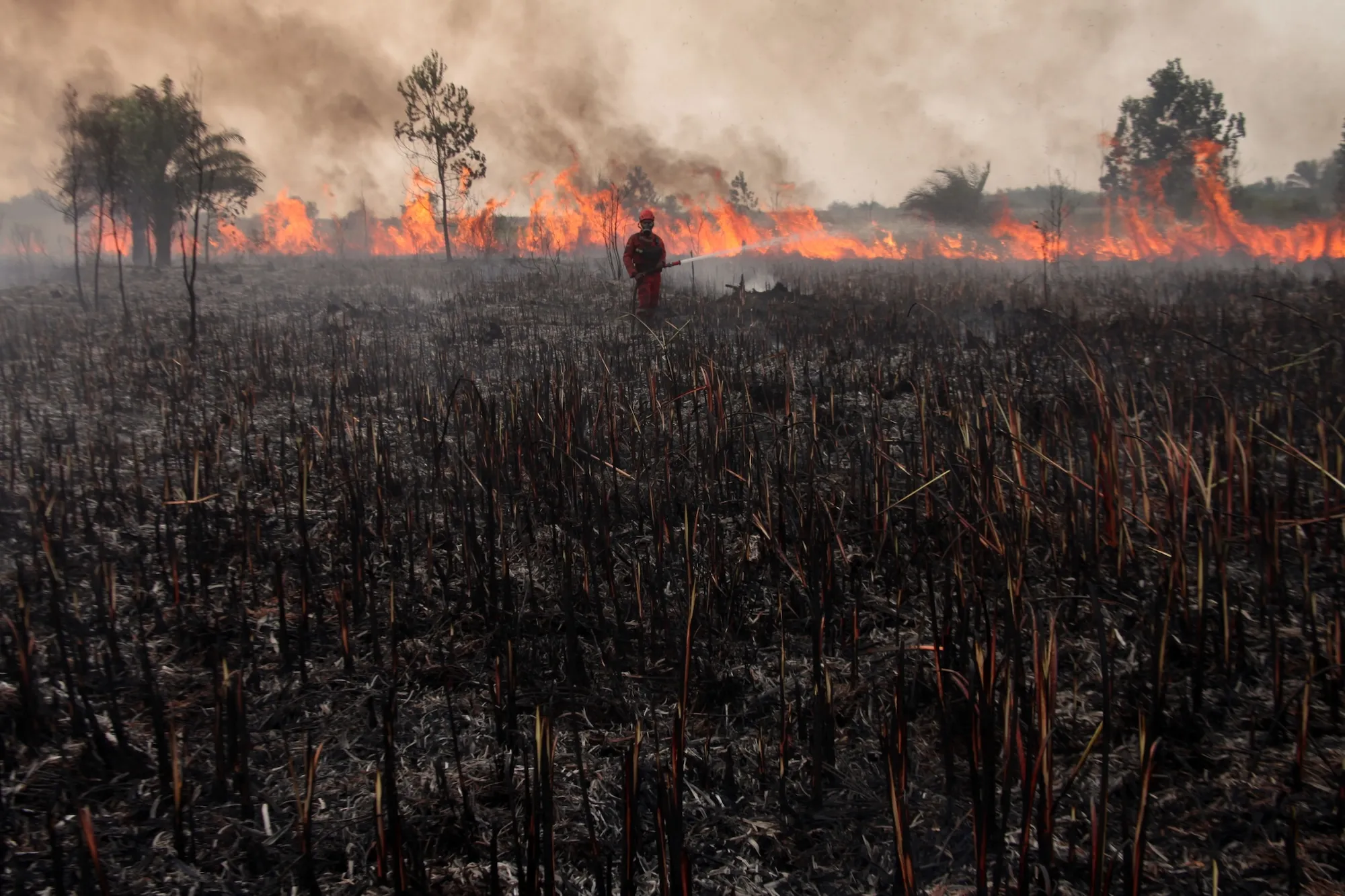
While the term "super" is broadly treated as an informal synonym for "very strong," recent data analysis released by Carbon Brief reveals just how far past standard thresholds the current event has climbed. Warming in the Niño 3.4 region has reached an astonishing 3.11 degrees Celsius above average, shattering previous benchmarks.
This figure is historic because it confirms that the current weather pattern has officially surpassed the previous record-holder for the strongest recorded El Niño, which peaked in intensity in November 2015.
Typically, El Niño events reach their natural peak between December and January. (The phenomenon derived its name centuries ago from South American fishers who observed its arrival around the winter holidays and linked the warmer waters to the nativity of baby Jesus.) While historical models suggest sea surface temperatures in the Pacific might begin to moderate over the coming months, current meteorological forecasts indicate that such a cooling trend is increasingly unlikely. Sea surface temperatures recorded over the summer months—specifically June, July, and August—were the highest ever documented, and predictive models currently place a 90 percent probability that the system will maintain its "very strong" status through the end of the calendar year.
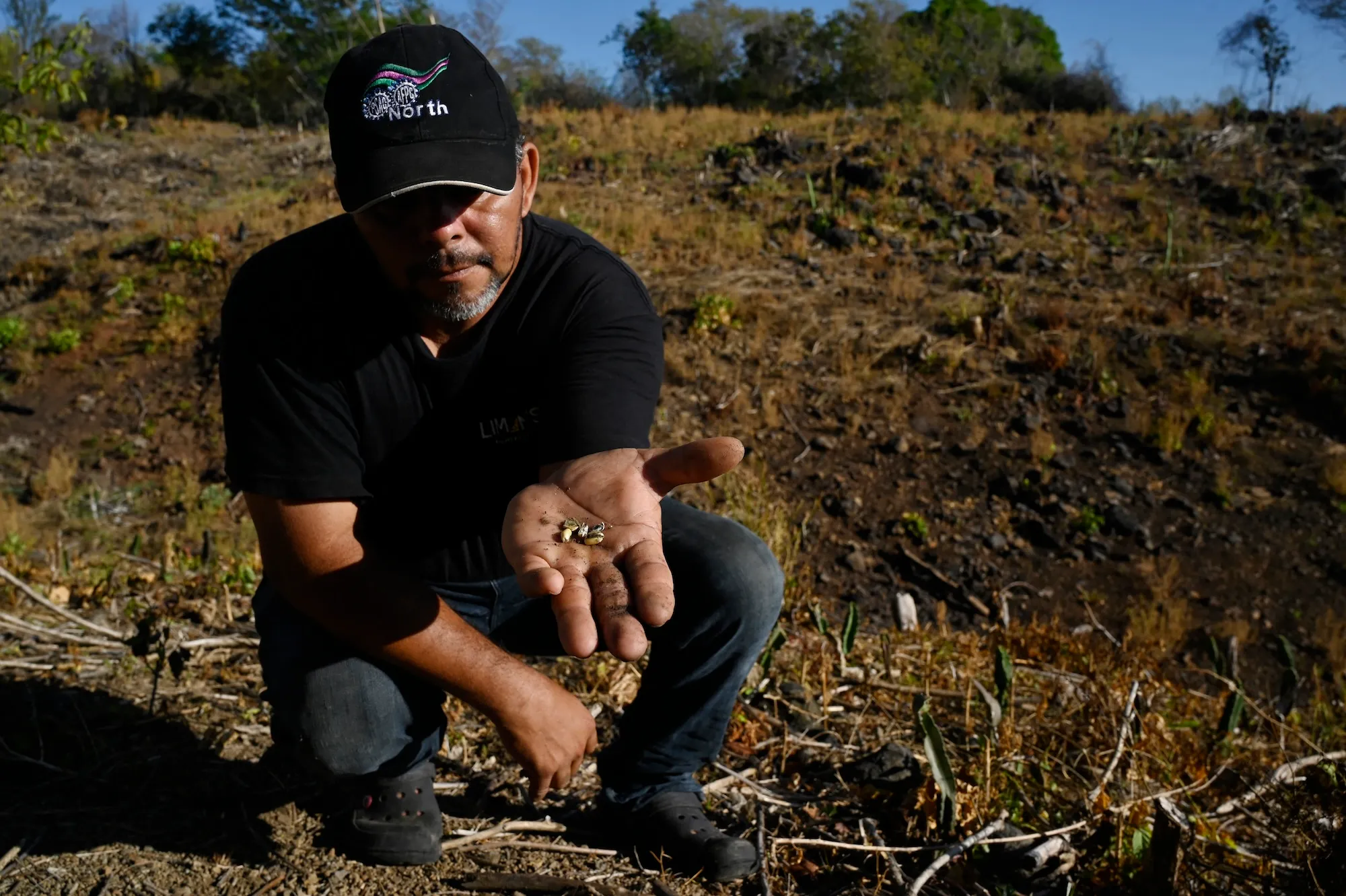
"I was a little bit skeptical earlier this year of some of the more dire predictions," Callahan said. However, as empirical data continued to accumulate from monitoring stations across the globe, it became undeniable "that we’re going to see a generationally strong event this year."
Where did the phrase ‘super El Niño’ come from?
While the term might easily be mistaken for modern journalistic sensationalism, its origins lie deep within the academic literature. Jo Vurdelja, an ecolinguistics researcher based in Serbia, expressed initial surprise upon discovering this lineage. "I really thought it was just media sensationalism," she noted. Historical records indicate the phrase first appeared in a 2003 meteorological research paper examining the dynamic relationship wherein a robust El Niño is frequently followed by an equally intense La Niña, its cooler oceanic counterpart.
Over the past two decades, "super El Niño" has transcended academic circles, taking root not only in English-speaking nations but spreading rapidly across Europe. The term has been directly adopted and translated by speakers of Serbian, Norwegian, Italian, German, French, Croatian, and numerous other languages as global media outlets attempt to convey the scale of the impending meteorological shift.
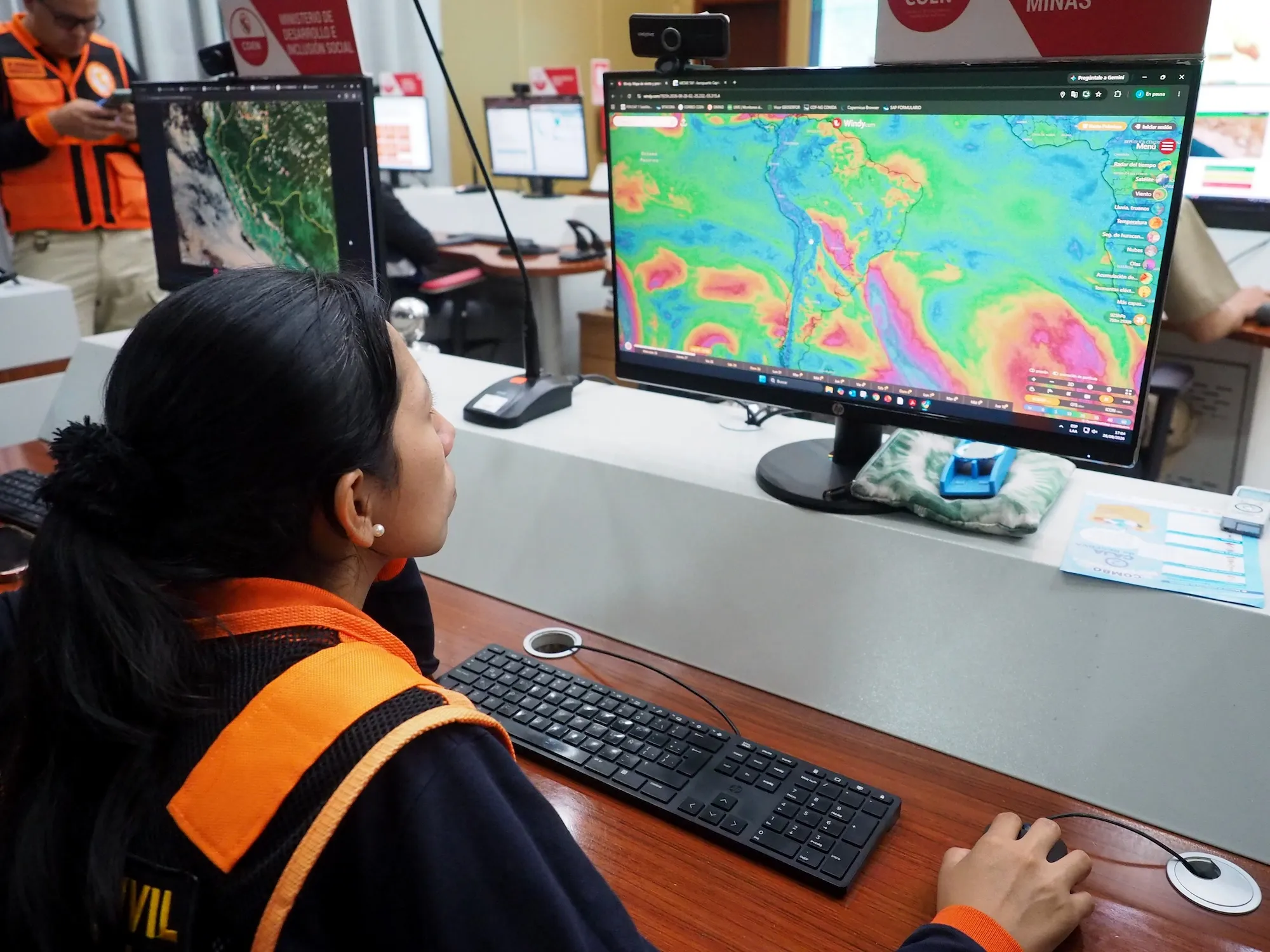
When extraordinary weather events loom on the horizon, language naturally evolves to reflect the scale of the perceived hazard. However, Vurdelja explains that selecting terminology to match ecological danger presents a delicate communicative challenge. Language can occasionally prove inadequate, inadvertently minimizing a severe threat, or it can lean too heavily into hyperbole, risking public desensitization or climate nihilism.
"It’s extremely important that the word communicates the seriousness, the magnitude, the severity of the event itself," Vurdelja said. From a linguistic perspective, she believes "super El Niño" successfully bridges that gap because it has been organically embraced by both working scientists and mainstream journalists.
What comes after ‘super El Niño’?
If events of this magnitude become a recurring reality—meaning if Pacific temperature anomalies regularly exceed 3 degrees above historical norms—the lexicon used to describe them will inevitably need to adapt. Some researchers argue that current terminology is already insufficient for capturing the unprecedented nature of modern climate shifts.
"This is going to be so far beyond a super El Niño, if the models are right, that we sort of need a new term for it," climate scientist Zeke Hausfather noted during a recent discussion on the podcast Shift Key.
As weather extremes intensify, researchers find themselves reaching for increasingly dramatic vocabulary. This linguistic spiral has prompted scientists to deploy terms like "mind-bogglingly crazy" and "gobsmackingly bananas"—a phrase coined by Hausfather—to describe unprecedented global temperature anomalies. Meanwhile, dramatic headlines frequently reference the "Godzilla" El Niño, a moniker originally introduced by NASA climate scientist Bill Patzert during the historic 2015 event.
Historically, official classification thresholds for climatic anomalies were designed around established empirical baselines. "We hadn’t gotten above 2 degrees Celsius except occasionally," Shaman explained, noting that the categories initially established by researchers felt entirely adequate for historical observation.
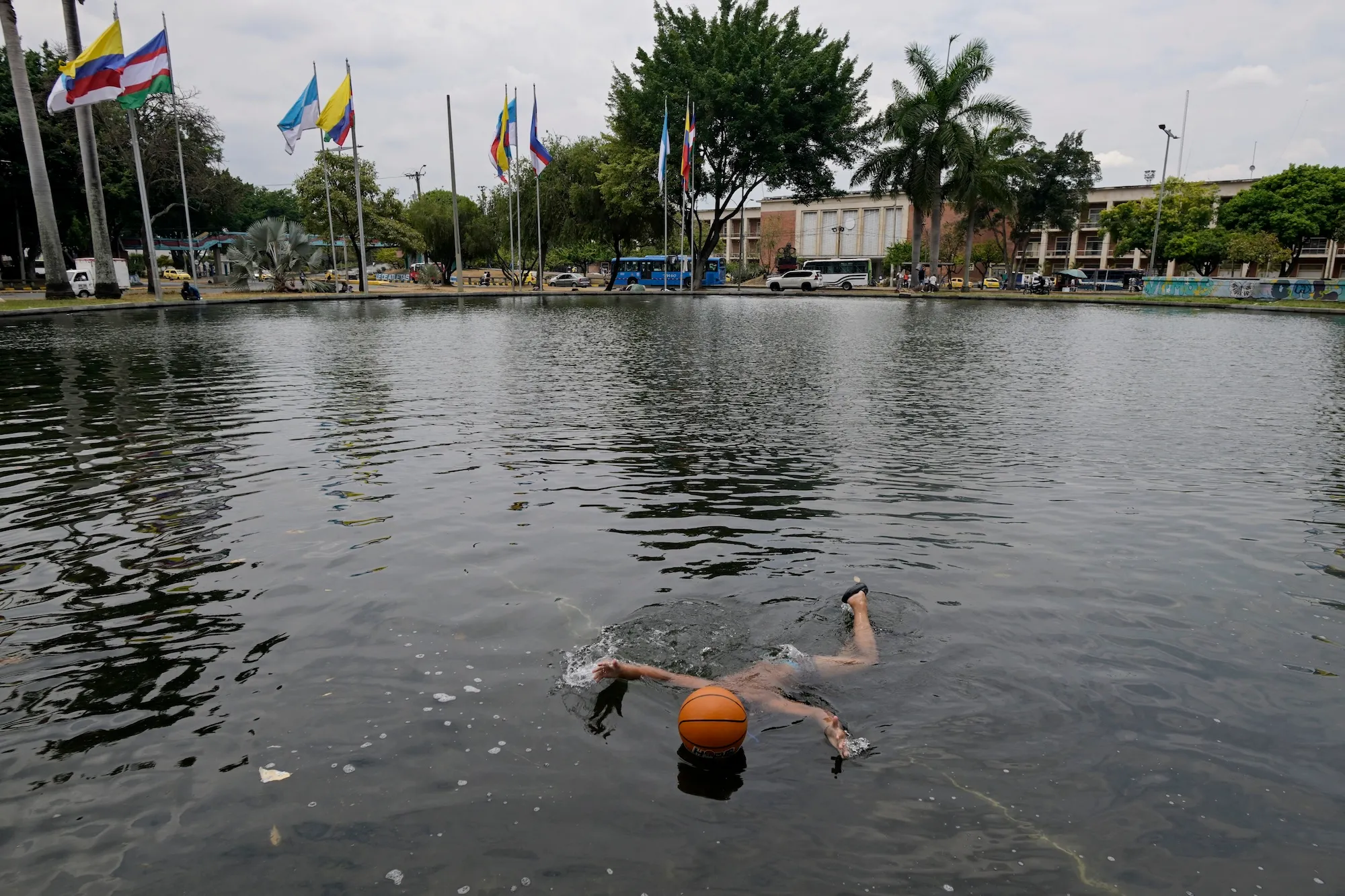
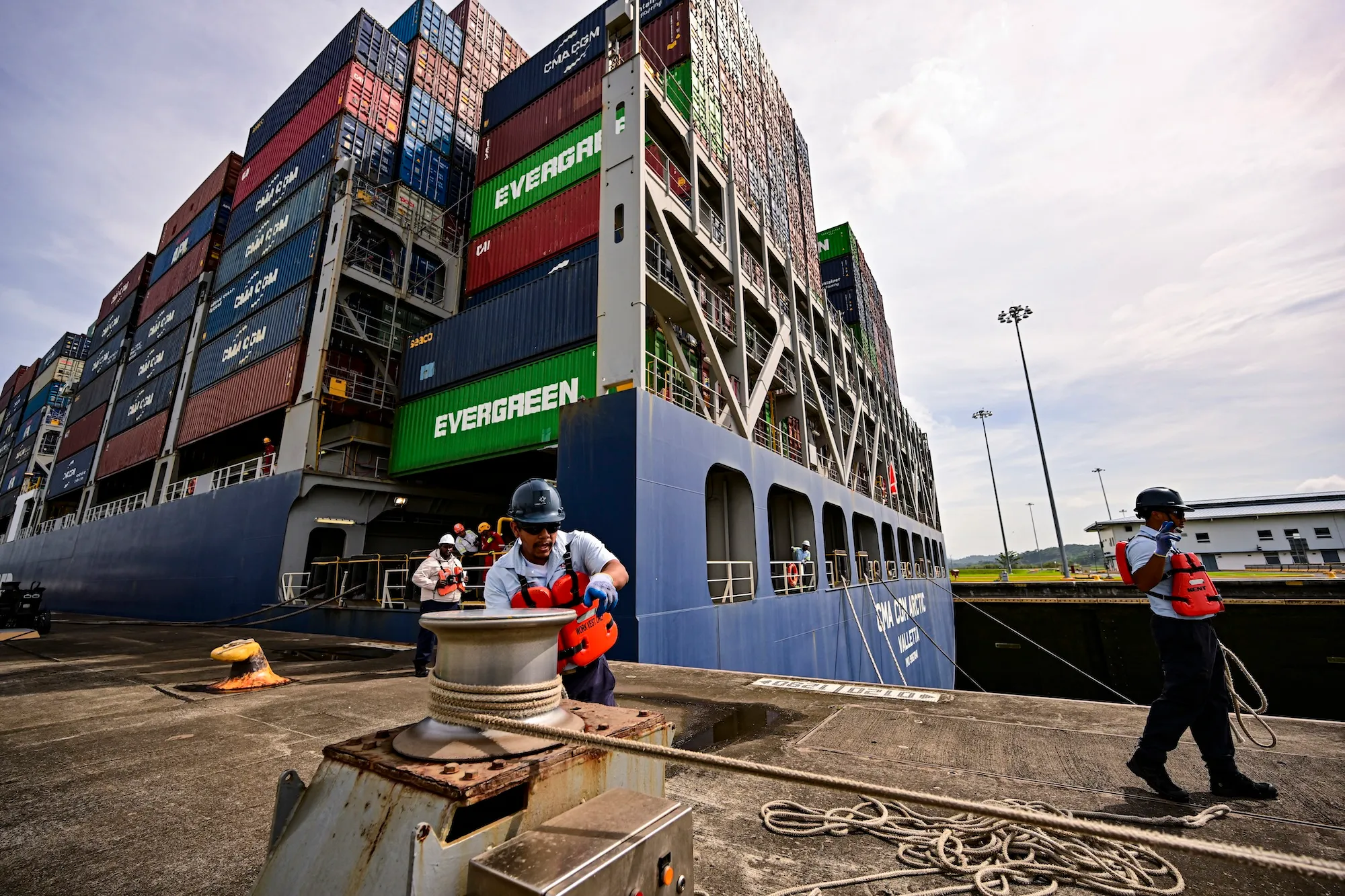
Regardless of the terminology applied by scientists, policymakers, or the media, experts emphasize that the most critical task moving forward is comprehensive preparation. Communities worldwide must urgently plan for the widespread impacts of this exceptionally strong El Niño, factoring in its projected consequences for international food production, hydropower generation, public health infrastructure, and severe weather mitigation in the months ahead. Given that California and other vulnerable regions have already enacted formal emergency measures, the colloquial label of a "super" event may ultimately prove fitting for the historic challenges now taking shape.