
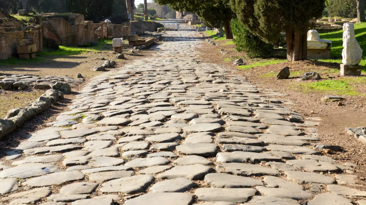
It is no easy feat to build a roadway, let alone a sprawling continental highway system. As the old adage goes, Rome wasn’t built in a day, and neither were the massive networks of thoroughfares that once connected nearly 3.5 million square miles of land across the vast expanses of the Roman Empire. Now, modern science and technology have caught up with antiquity. Researchers have successfully mapped the complete network of approximately 190,000 miles of roads that Romans established across Europe, parts of the Middle East, and Northern Africa.
The comprehensive study, published in Nature, was undertaken to better understand the world’s first true continental travel route and to test a classic idiom: Do all roads truly lead to Rome? As it turns out, they do not.
The ambitious research project mapped out what the Roman road network would have looked like at the absolute peak of the empire’s power, a period generally recognized as spanning from the 2nd to the 4th centuries AD. By combining historical data with advanced spatial analysis, researchers traced the intricate web of major paved highways and minor countryside tracks.
To the surprise of the archaeological community, the network did not centralize in the city of Rome itself. Tom Brughmans, a classical archaeologist at Aarhus University in Denmark and one of the lead researchers on the project, revealed that when looking at movement across the entire Italian peninsula, the most central road actually follows the opposite Adriatic coastline, bypassing Rome completely.
Instead, the true geographic convergence point for the empire’s vast road network was Constantinople, known today as Istanbul, Turkey. Strategically positioned along the Bosporus Strait, the city served as a vital bridge between Europe and Asia. In antiquity, travelers and merchants relied on a steady system of ferries to easily traverse the short water crossing between the two continents, making the region a natural crossroads for imperial commerce and communication.
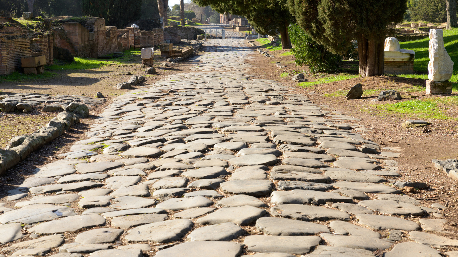
The Long, Straight Roads of the Roman Empire
The sheer scale of the Roman road network is even more staggering when considering the technological limitations of the era. Roman engineers were largely restricted to building straight roads because of the tools at their disposal. Chief among these was the groma, an ancient surveying instrument that excelled at establishing straight lines and right angles, but proved utterly useless for navigating around natural curves or obstacles.
Consequently, the physical lay of the land played a dominant role in determining where roads were placed. Because ancient engineers lacked the heavy explosives and mechanized excavation tools of modern times, blasting through mountains was simply not an option. When a road encountered a steep mountain or a deep valley, engineers adapted by utilizing a switchback or zig-zag pattern, meticulously connecting one straight segment of road to another on the ascent and descent. Furthermore, they deliberately avoided overly steep slopes to ensure the routes remained passable for pedestrians, marching legions, and heavily laden draft animals pulling carts.
Building a road more than two millennia ago relied on principles surprisingly similar to those used in modern civil engineering, albeit with much more rudimentary materials. Construction typically involved layers of lime, cement, gravel, crushed stone, and carefully fitted paving stones designed to promote drainage and durability.
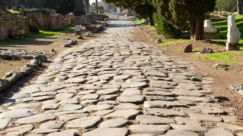
Historical records indicate that many of these robustly constructed routes outlived the institutions that created them. They remained in active use long after the fall of the Western Roman Empire in 476 AD and the eventual collapse of the Byzantine Empire in 1453 AD. For centuries, these ancient paths formed the backbone of European travel and communications, persisting until the development of the railroad system in the 1800s and the rise of modern highway systems in the 20th century. In fact, many major European highways driven on today are built directly along the top of these ancient Roman foundations, with some original cobblestone sections remaining remarkably intact.
A First in Moving Goods and People by Land
While the Romans are credited with unifying and expanding the network, researchers note that some components of the road systems had already been established by local populations before the Romans arrived and connected them, such as in ancient Britain and Egypt. However, as the empire’s borders pushed outward, its administrative and military infrastructure expanded in tandem.
Over time, these routes evolved to include early versions of common highway amenities seen on modern roads today. Romans installed stone milestones inscribed with distances to the nearest cities, written clearly in Latin, to help travelers keep track of their journeys. Along more perilous stretches, particularly in harsh desert regions, they constructed small fortresses and waystations where travelers could rest, replenish their water and food supplies, and take shelter from unforgiving sandstorms.
These ancient roadways were the circulatory system of the empire, essential for moving people, resources, and military forces across vast distances. This infrastructure meant that a massive, diverse region became tightly integrated, providing a continent-sized platform for the dissemination of people, animals, pathogens, goods, and ideas.
The historical impact of the network was profound. Roman legions marched swiftly over these paved arteries to respond to regional threats, relieve garrisoned colleagues, and project imperial power into newly colonized territories. Radical new concepts, including early Christianity, traveled rapidly along these overland and maritime corridors. Yet, despite their military and political utility, the roads were most frequently used for mundane daily tasks: the routine commutes of farmers traveling from home to field, or local merchants heading to regional markets to sell their produce.
While researchers now possess a remarkably detailed map of how the network looked, significant questions remain regarding how the Romans managed to plan it. Historians still debate whether the empire possessed the capability to produce a master map to coordinate such a massive, synchronized infrastructure project. Currently, prevailing theory suggests that the planning of these roadways occurred primarily at a provincial level, with local authorities simply connecting regional hubs to the broader imperial grid.
Unraveling how ancient engineers mastered such a colossal feat without the aid of modern satellite navigation or cartographic tools continues to fascinate scientists. Relying on little more than the stars, their instruments, and eventual milestones, Roman builders managed to weave together a fractured world. Further research may eventually shed light on the exact methods they used to map out an empire, but for now, the newly traced network stands as a testament to one of history’s greatest engineering achievements.