
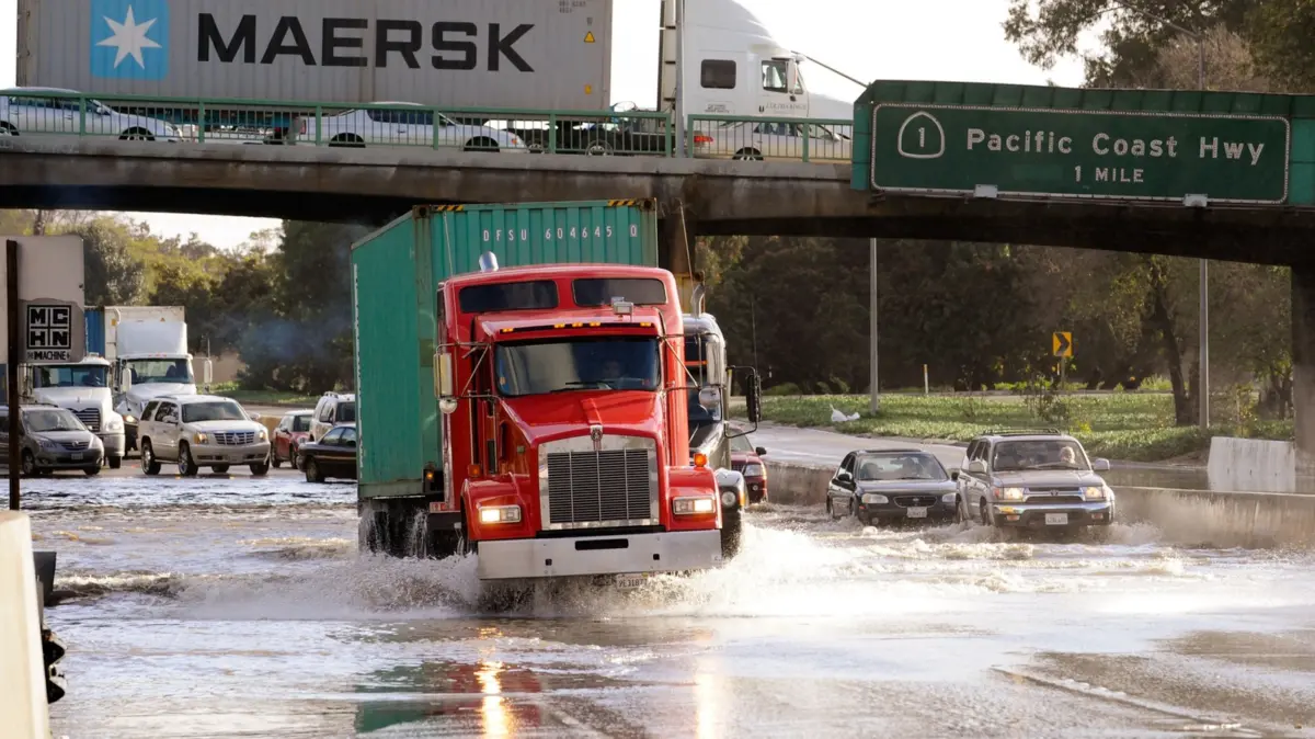
As the winter season approaches, communities across the United States are bracing for what meteorologists and climate experts predict could be a historically severe weather pattern. At the center of this looming seasonal shift is a powerful super El Niño system, which the National Oceanic and Atmospheric Administration (NOAA) warns is on track to become one of the most intense on record. This meteorological phenomenon is expected to bring a stark divide in weather conditions across the country, forecasting warmer-than-average temperatures across northern states while delivering significantly wetter-than-average conditions to the southern regions.
The arrival of a potentially record-breaking El Niño winter comes against a backdrop of broader environmental and regulatory discussions. Earlier this year, the political landscape shifted regarding federal climate policies when the U.S. government repealed the Environmental Protection Agency’s 2009 endangerment finding. That original scientific finding had formally established that greenhouse gas emissions pose a danger to public health and welfare. Following that repeal, the administration moved to lower average fuel economy standards for automakers, with officials publicly asserting that vehicle emissions standards fail to make a meaningful difference for the global environment.
Yet, even as federal environmental regulations face rollbacks, scientists and everyday citizens alike are witnessing tangible shifts in global climate patterns. Earth continues to record rising average temperatures year after year, and extreme weather events are becoming more frequent and intense. For residents living in historically arid regions, the prospect of a torrential, storm-heavy winter presents a daunting challenge, particularly given how infrequently these areas experience sustained heavy rainfall.
In places like Los Angeles, where the climate is predominantly dry and sunny for the majority of the year, the local infrastructure and driving culture are rarely tested by prolonged wet weather. Drivers in southern California are notoriously unaccustomed to navigating slick, flooded, or debris-laden roads. Historically, as soon as even a light sprinkle descends upon the sprawling freeway networks of the greater Los Angeles area, traffic slows to a crawl, and fender-benders multiply rapidly. The looming threat of a severely saturated El Niño winter—complete with the distinct possibility of localized urban flooding, major freeway inundation, and dangerous mudslides in foothill communities—has placed drivers in arid climates on high alert.
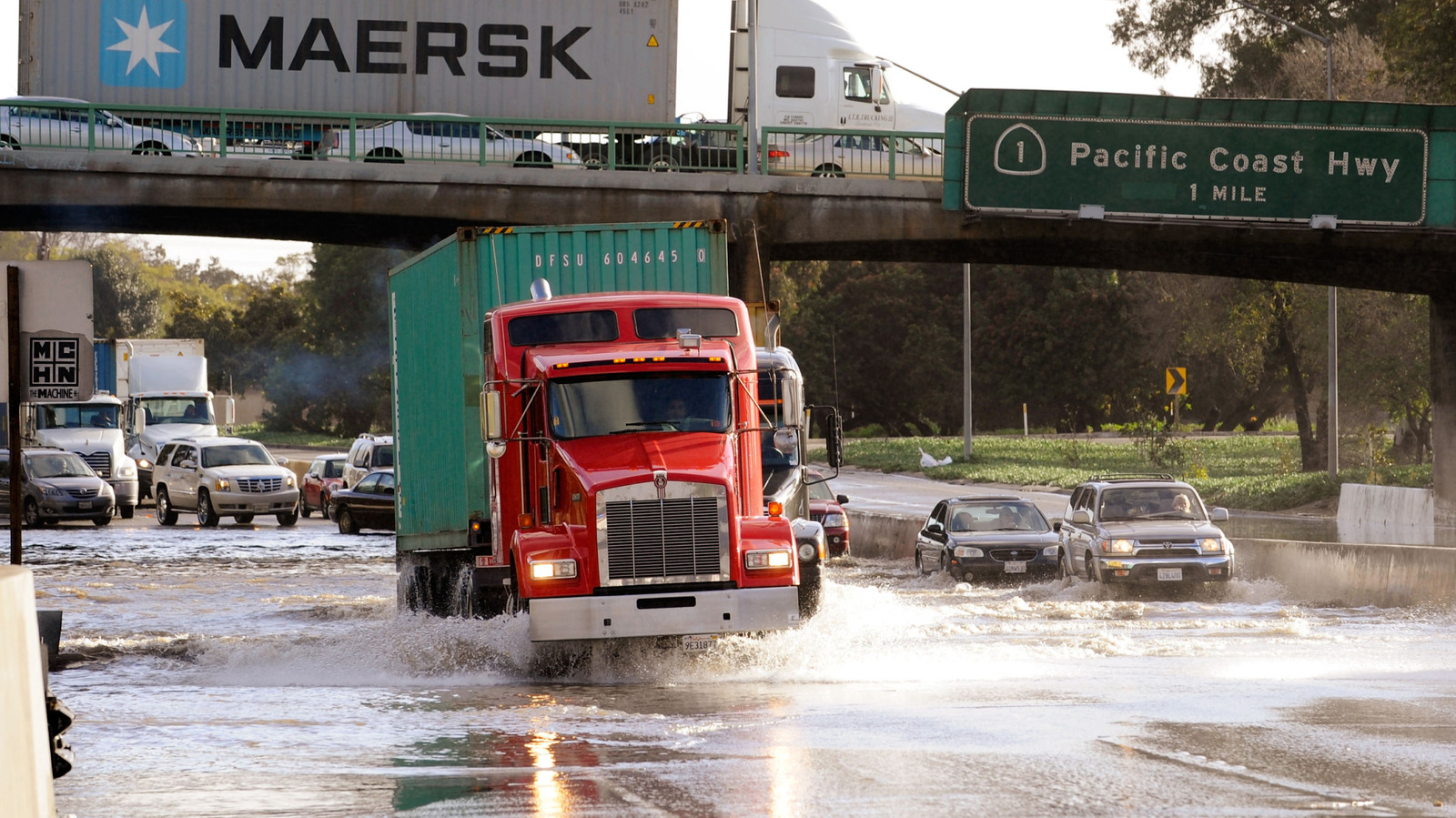
This stark lack of wet-weather driving experience, combined with the extreme forecasts issued by NOAA, has sparked widespread concern among residents who are unaccustomed to preparing their vehicles for severe winter storms. Transportation safety advocates point out that navigating rain-soaked thoroughfares requires a fundamental shift in both vehicle preparation and driving technique, starting with the very components that keep a car connected to the pavement.
Maintaining Adequate Tire Tread is the First Line of Defense Against Hydroplaning
For motorists residing in regions that rarely experience significant standing water on roadways, overlooking basic vehicle maintenance can easily become a hazardous habit. Chief among these overlooked maintenance items is the condition of a vehicle’s tire tread. In arid climates, drivers can frequently get away with driving on worn-out tires for extended periods simply because dry asphalt offers ample friction even when tread depth is minimal. However, introducing torrential downpours and standing water to the equation drastically changes the physics of driving.
A casual observation of parked vehicles in many neighborhoods reveals an alarming number of cars running on rubber that is nearly entirely devoid of tread patterns. Driving on tires that resemble smooth racing slicks is not only dangerous; it is also a violation of vehicle safety laws.
The science behind tire tread is fundamentally tied to fluid dynamics. As a vehicle rolls across a wet road surface, the grooves and channels carved into the tire tread are specifically engineered to displace and evacuate water from directly underneath the contact patch. This allows the rubber blocks to maintain a secure, physical connection with the solid road surface beneath the water film.
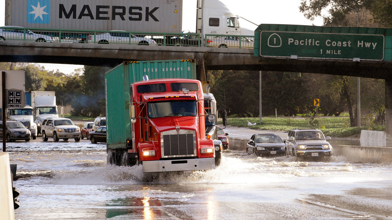
When tires wear down until they lack sufficient tread depth, they lose their ability to channel water away effectively. Instead of cutting through the moisture, the tire begins to ride on top of a thin wedge of water, a dangerous phenomenon known as hydroplaning. When hydroplaning occurs, the driver loses steering control and braking traction entirely, which can easily trigger an unexpected spinout, a loss of vehicle control, or a severe multi-car collision.
Transportation safety officials emphasize that ensuring tires have adequate tread is arguably the most critical preparation a driver can make ahead of a heavy storm season. Legally, driving on tires with tread depth measuring less than 2/32 of an inch is prohibited in many jurisdictions because of the extreme safety risks involved.
Checking tread depth does not require specialized mechanical tools. A simple and reliable method involves using a standard U.S. penny. By placing the coin upside down with Abraham Lincoln’s head pointing downward into the deepest grooves of the tire tread, a driver can quickly gauge wear levels. If the entire top of Lincoln’s head remains visible above the tread, the tire is legally considered bald and must be replaced immediately to ensure safe operation on wet roads.
As transportation authorities and local communities prepare for the impending arrival of the super El Niño winter, safety experts continue to urge drivers—particularly those in historically dry regions unaccustomed to severe weather—to inspect their vehicles, verify tire health, and adopt cautious driving habits well before the first major storm system makes landfall.